Tag
environmental health
-

Scientist, journalist and editor Katie Burke joins AHCJ as new environmental health beat leader
Katie Burke, a science journalist and editor based in Virginia, has joined AHCJ as the new environmental health beat leader.

-
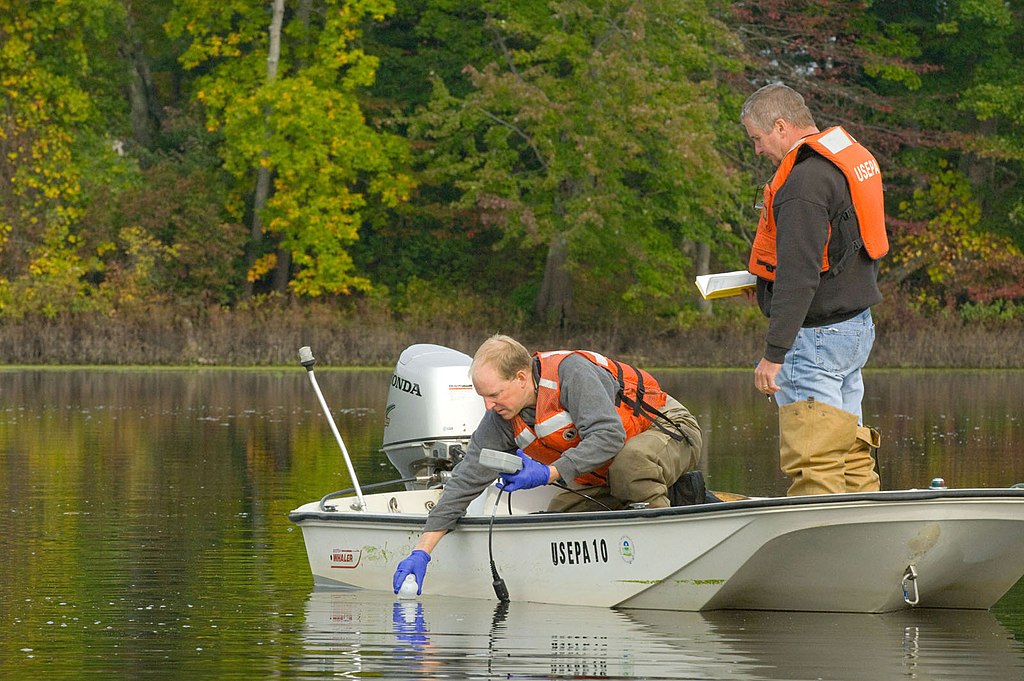
How to cover environmental exposure studies
This tip sheet discusses best practices specifically for writing about environmental exposure studies.

-
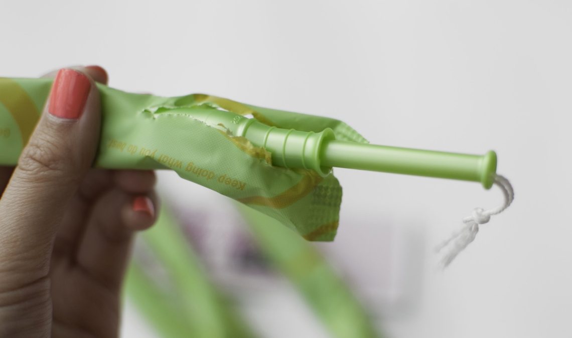
Here’s what we all should learn from that scary tampon study
Sensationalist headlines surrounding a recent tampon study is a reminder of why journalists must consider the purpose of research before…
-

Tip sheet: Reporting on the health sector’s big impact on greenhouse gas emissions
Even before the extreme weather of this summer, health care systems had become increasingly aware that climate change endangers human…

-
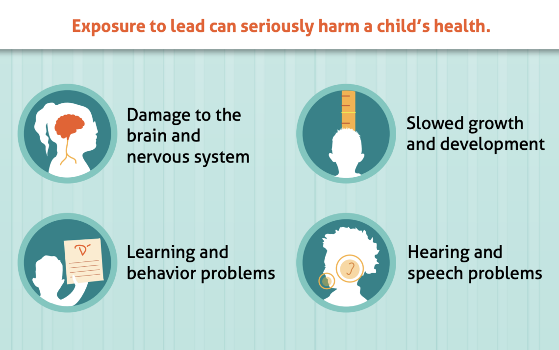
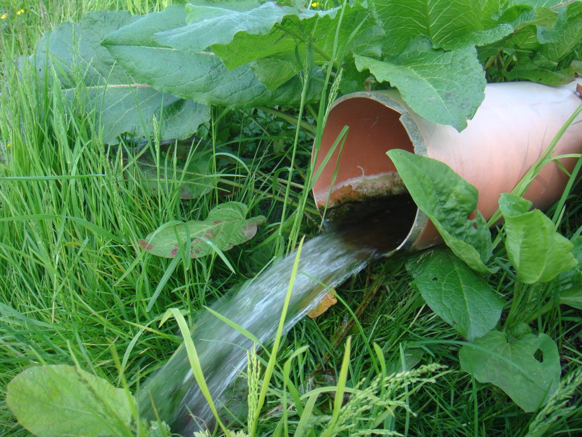
Tip sheet: Covering the ongoing problem of lead contamination
Lead contamination is ever-present across the U.S. Here’s how to report on it.

-
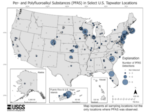
The federal government aims to crack down on PFAS in drinking water. What happens next?
The federal government intends to regulate PFAS in drinking water. Local water systems will have to follow the new rules.
-
Reporting beyond the medical studies on PFAS ‘forever chemicals’
The “forever chemicals” known as PFAS have been getting more attention in the past few years as multiple studies have…
-

Tips for reporting on the health impacts of a boiling world
Worldwide, extreme heat kills at least 300,000 people each year. “High temperature events” have numerous adverse health effects that can…

-

Journalism fellowships to help support environmental health coverage
Journalism fellowship and funding for special projects are opportunities to go beyond daily reporting and to have support and money…
-

Guide for covering climate solutions should add health to its list of beats
As more journalists and organizations begin covering climate change, there is a need for information about how to cover this…